Skip to search
Skip to main content
Digital Commonwealth
Sign Up / Log In
Search for
Search
Search
Search
Basic
Advanced
Explore
Map
Collections
Institutions
Formats
For Educators
Primary Source Sets
Lesson Plans
Using Primary Sources
Searching Digital Commonwealth
For Institutions
Join Digital Commonwealth
Conferences, Trainings, & Events
How to Contribute Collections
Digitization Services
Board & Committees
Frequently Asked Questions
About
About Digital Commonwealth
News & Announcements
Copyright & Terms of Use
Harmful Content Statement
Partners
API
Contact Us
Boston Public Library
Norman B. Leventhal Map Center Collection
/
David Judkins Weaver Papers
/
Boston and New England Maps (Collection of Distinction)
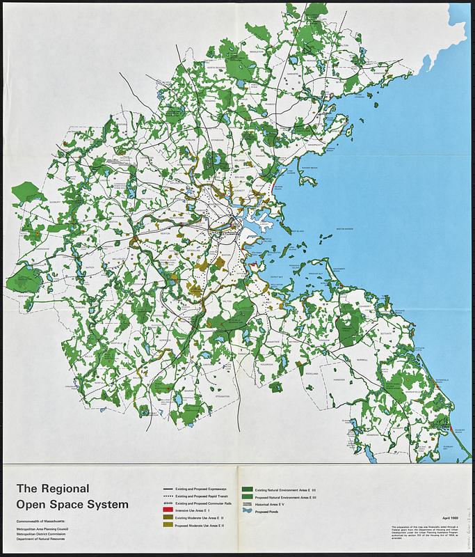
The regional open space system : [Boston, Massachusetts metropolitan area]
The regional open space system
×
Item Information
Title:
The regional open space system : [Boston, Massachusetts metropolitan area]
Cartographer:
Massachusetts. Metropolitan Area Planning Council
Contributor:
Massachusetts. Metropolitan District Commission
Contributor:
Massachusetts. Department of Natural Resources
Name on Item:
Commonwealth of Massachusetts: Metropolitan Area Planning Council, Metropolitan District Commission, Department of Natural Resources
Date:
1969
Format:
Maps/Atlases
Location:
Boston Public Library
Norman B. Leventhal Map & Education Center
Collection (local):
David Judkins Weaver Papers
Subjects:
Boston Metropolitan Area (Mass.)--Maps
Open spaces--Massachusetts--Boston--Maps
Local transit--Massachusetts--Boston--Maps
Places:
Massachusetts
>
Suffolk (county)
>
Boston
Extent:
1 map : color ; 54 x 54 cm
Permalink:
https://ark.digitalcommonwealth.org/ark:/50959/mc87v256r
Terms of Use:
No known copyright restrictions.
No known restrictions on use.
Publisher:
[Boston, Mass.] : Metropolitan Area Planning Council
Scale:
Scale approximately 1:140,000
Language:
English
Notes:
"April 1969."
Shows from Ashland in the west to the coast in the east, and from Topsfield in the north to Island Creek Pond in the south.
Identifier:
06_01_018799
Call #:
Weaver folder 13 no. 2
show more...
View MODS XML
More Like This
Major transportation system : Boston region MAPC area
The 1976 proposed regional open space plan
Boston's bikemap : Arlington, Belmont, Brookline, Cambridge, ...
Allston-Brighton open space plan site inventory
Find More Like This >>
Tools
Share
Facebook
Pinterest
X
Reddit
Tumblr
Email
Copy link
Add to Folder
Questions/Comments
Cite This Item
IIIF Manifest
Downloads
Primary (full resolution, uncompressed)
(TIF, 232 MB)
Large (full resolution)
(JPEG, 19.5 MB)
Medium
(JPEG, 150 KB)