New Bedford Free Public Library
U.S. Geological Survey Collection
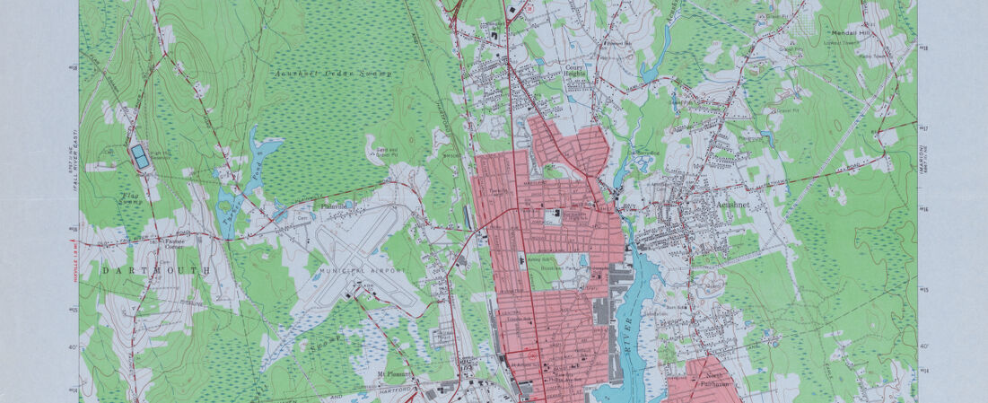
Detail from:
New Bedford North Quadrangle Massachusetts
The United States Geological Survey (USGS) is a scientific agency within the U.S. Department of the Interior. Created in 1879 by an act of congress, USGS was formed by a need to document lands annexed into the United States after the Louisiana Purchase and the Mexican-American War. The USGS has produced several series of topographic maps with various scales, the largest group of which is the 7.5 Minute series. Maps in this series cover an area between two lines of latitude and two lines of longitude, spaced 7.5 minutes apart. The data for these maps was gathered by on-the-ground surveying and, in later years, supplemented by aerial photography. For many years, the New Bedford Free Public Library served as a government repository, and the majority of these maps were given to the library during that time.