Boston Public Library
Boston Wharf Company Collection
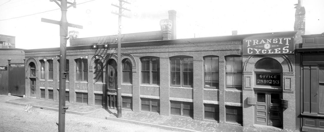
This collection of glass-plate negatives was given by the Boston Wharf Company to the Boston Public Library's Print Department in 1995. The negatives were taken circa 1898-1907 as a record of the buildings then owned and managed by the Boston Wharf Company in the Fort Point Channel Area of Boston. The photographer is an unknown, but obviously talented, architectural photographer.
About the Fort Point Channel Area -- Fort Point Channel runs south-west from the main harbor, from Rowe's Wharf on Boston's waterfront, past South Station, (where it curls to the north before resuming its journey south-west), until it ends in a stump at what used to be the Dover St. Bridge, now East Berkeley Street. At this point in history, its main purpose is to serve as the geographic boundary between South Boston and Boston proper.
Although less than two miles long, the Channel was once a teeming industrial waterway serving thriving industries. From the 1880s to the 1930s, ships carrying everything from wool and molasses to safety razors plied the Channel. In the early years of the Channel, its wharves were used mainly for the storage of molasses and wool; but, as Boston grew in prominence as a center for industry, brick and granite factories gradually replaced wood-framed storage sheds. By 1900, the Channel served numerous industries and provided a key sea-to-railroad link, created when the Boston Wharf Company "invited" the railroad to the area in the 1850s.
The Channel remained an important link in the chain of Boston industry into the 1930s, but by WWI its days as a key Boston waterway were on the wane. Much of the Channel and the Fort Point Channel area's decline was a part of the general decline of Boston as an industrial center. But, even if Boston had remained commercially vibrant throughout the 20th Century, other factors would have robbed it of its utility.
The invention of the automobile and the development of the U.S. highway system after WWII made asphalt the chosen medium for transportation as opposed to water or the rail. Although the ship remains to this day the cheapest way, pound for pound, to transport large quantities of goods over long distances, the ocean-going ships built for transport are of such massive tonnage that they could only sail into the Channel at full ramming speed.
Although the Channel has gone into retirement (used mostly by recreational boaters), and although its bridges are slated for removal or to become museum pieces, it is still there, still a part of Boston's geography. It is a landmark of Boston's industrial past. In the Fort Point Channel, history is more than an idea or a concept, it is real. It is in the bricks of the buildings, the stone of the seawall and in the iron of the bridges. It is history that you can walk through or over. And it is history that you sail down.